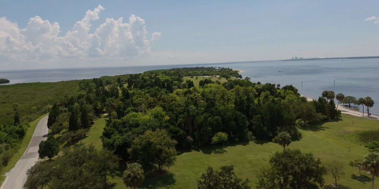
Aerial Drone Photography
Do you look at Google Earth for imagery of your property? Google Earth images could be up to three years old but wouldn’t you prefer a current image of what your property looks like now? A simple flight around your property boundaries to conduct a simple aerial photography flight will give you more info than Google Earth ever will! The imagery provided is not a survey but may be used as an overlay to make decisions for future projects.
Are you part of a construction company or engineering firm and need progress pictures for your clients or to make further decisions? Do you want a before and after picture of a project? An aerial video and still shots of your property/project can be done with coordination by Handy Vet.
Drone inspection in Tampa is relatively new. The possibilities are endless with drone photography and video but we can’t start until you contact Handy Vet Inspections.
I urge anyone considering any aerial video, photography or inspection with a drone to carefully consider who they hire. Anyone who is mislead by and hires an unlicensed drone operator can be fined up to $11,000 by the FAA. Click here for an independent article detailing the issue. Consider who you hire carefully please.
3D Mapping
Selling your home, own commercial property, have a property you want to hi-light, or considering buying a property and want to see what it looks like right now? All this can be done with a 3D map.
Mapping is a complex process we offer to provide you with a detailed map that shows endless details you need to make decisions. Why get a map of your property:
- Considering future construction/ planning/ progress pics or videos
- Commercial property inspection/ management/ inventory
- HOA management
- Before and after storm damage for insurance policy
- Large wooded property and want to see what you can't see from the ground
- endless possibilities for a great value
Have a question about your project, just call us with an address and receive a free consult. Free on-site consult is available as well.
YouTube Page
Click image or button to see the YouTube page with videos of inspections.
There are no ads on any of my videos as I do not get paid for any of my content.
Aerial Photo Gallery (Anything is Possible)
Copyright © 2024 Handy Vet Inspections - All Rights Reserved.
EMAIL: Derle@HandyVetInspections.com
813-981-2008


